| 'Ridge Lane' ~400yds, NZ766176 |
| Back to 2nd February 2008. Port Mulgrave & Sandsend Line |
| Click on individual pictures to view a larger version in your browser or Download all 10 large pictures plus the map (filesize = 3.91MB) |
 |
 |
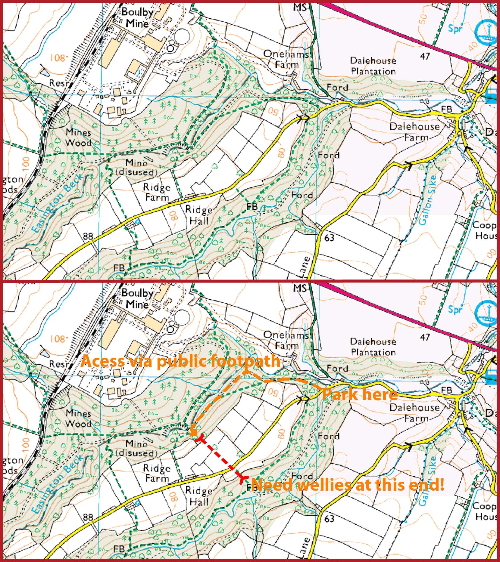
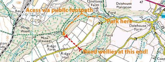
| Modern map showing the location of the tunnel, where to park and how to get there. If you go and if you take some decent light painted pics, please send me a couple. Thanks! |
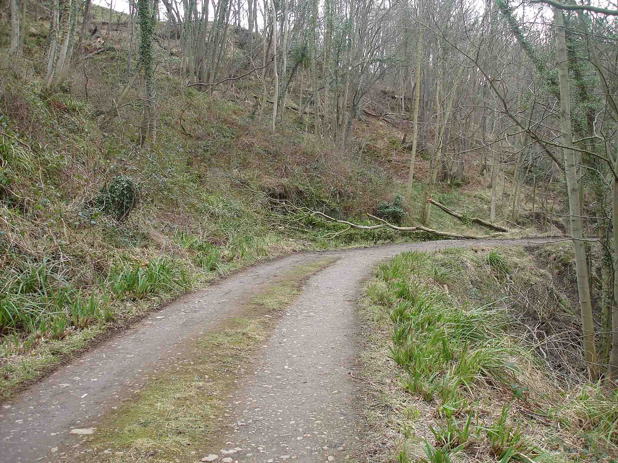
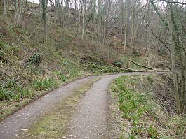
The public footpath leading to the north portall of the tunnel (which is behind the fallen tree in the distance). |
 |
 |
 |
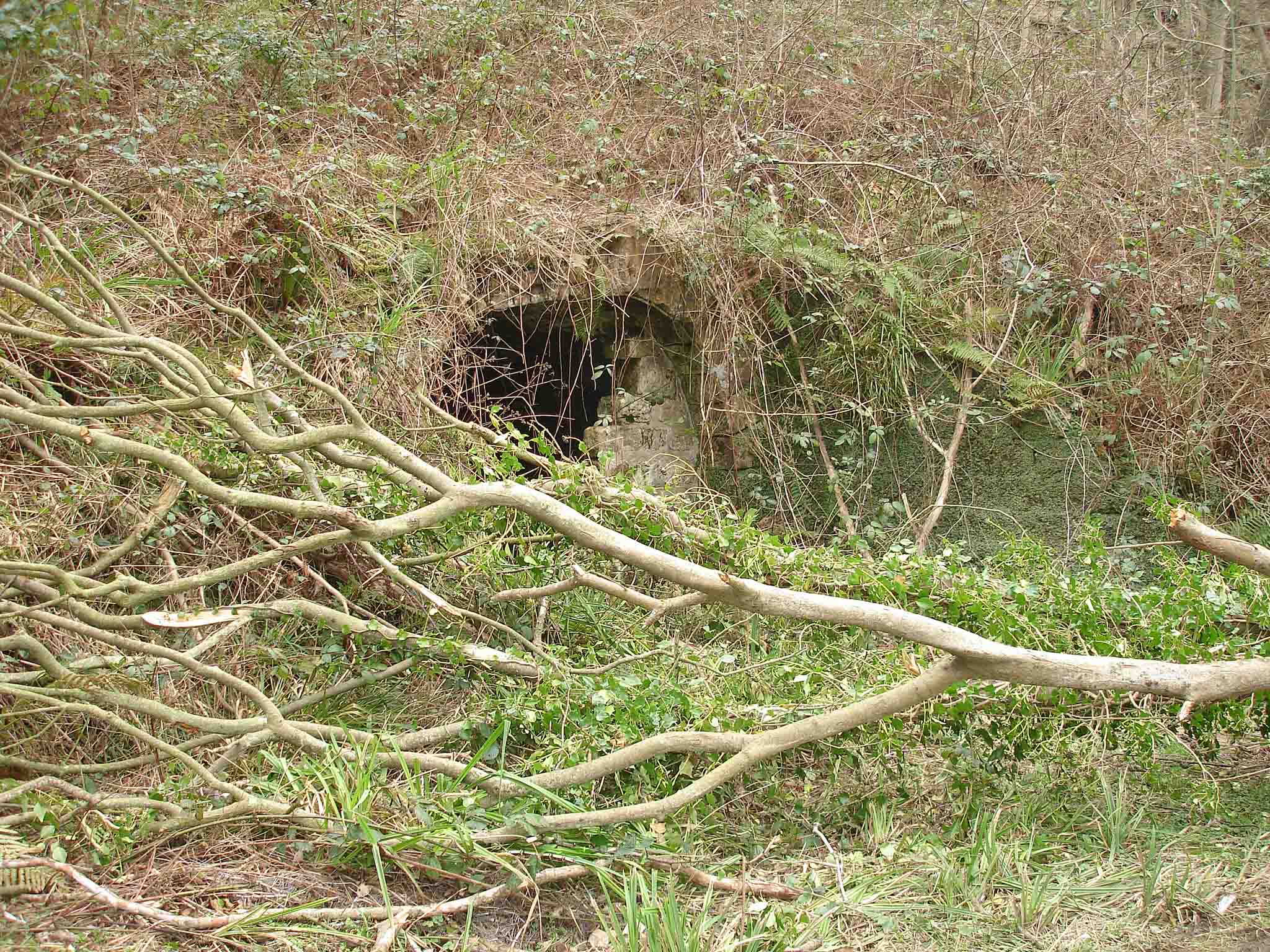
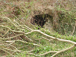
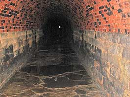
| The north portal. |
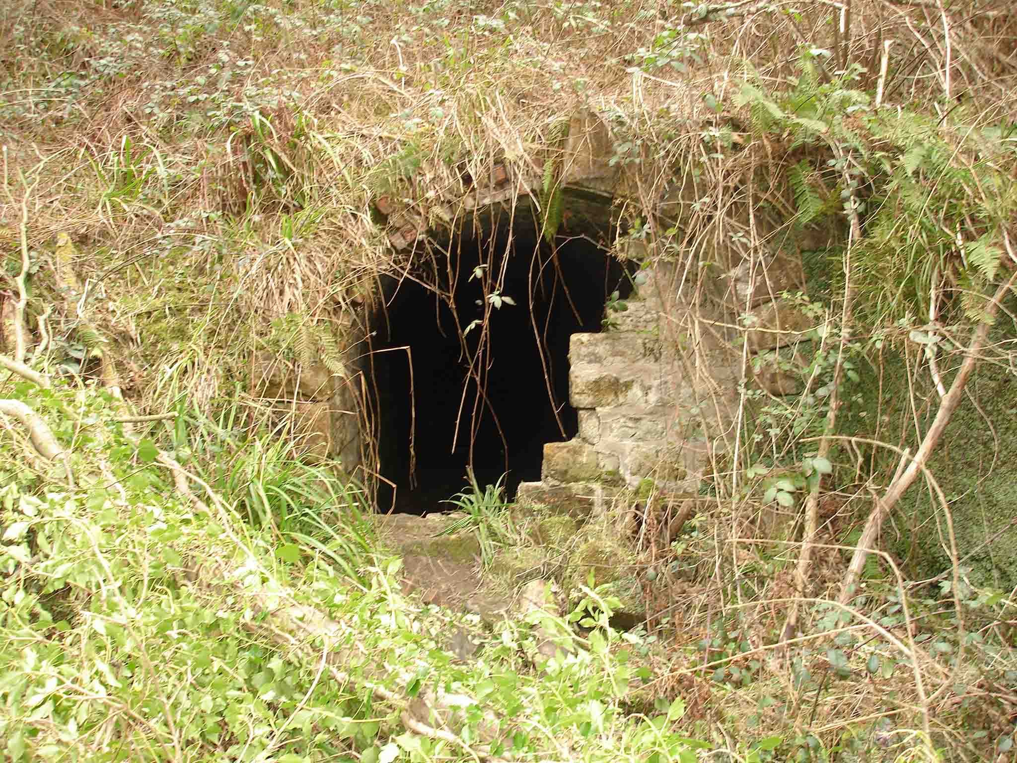
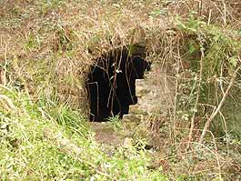
Close up. You can just see the other end. |
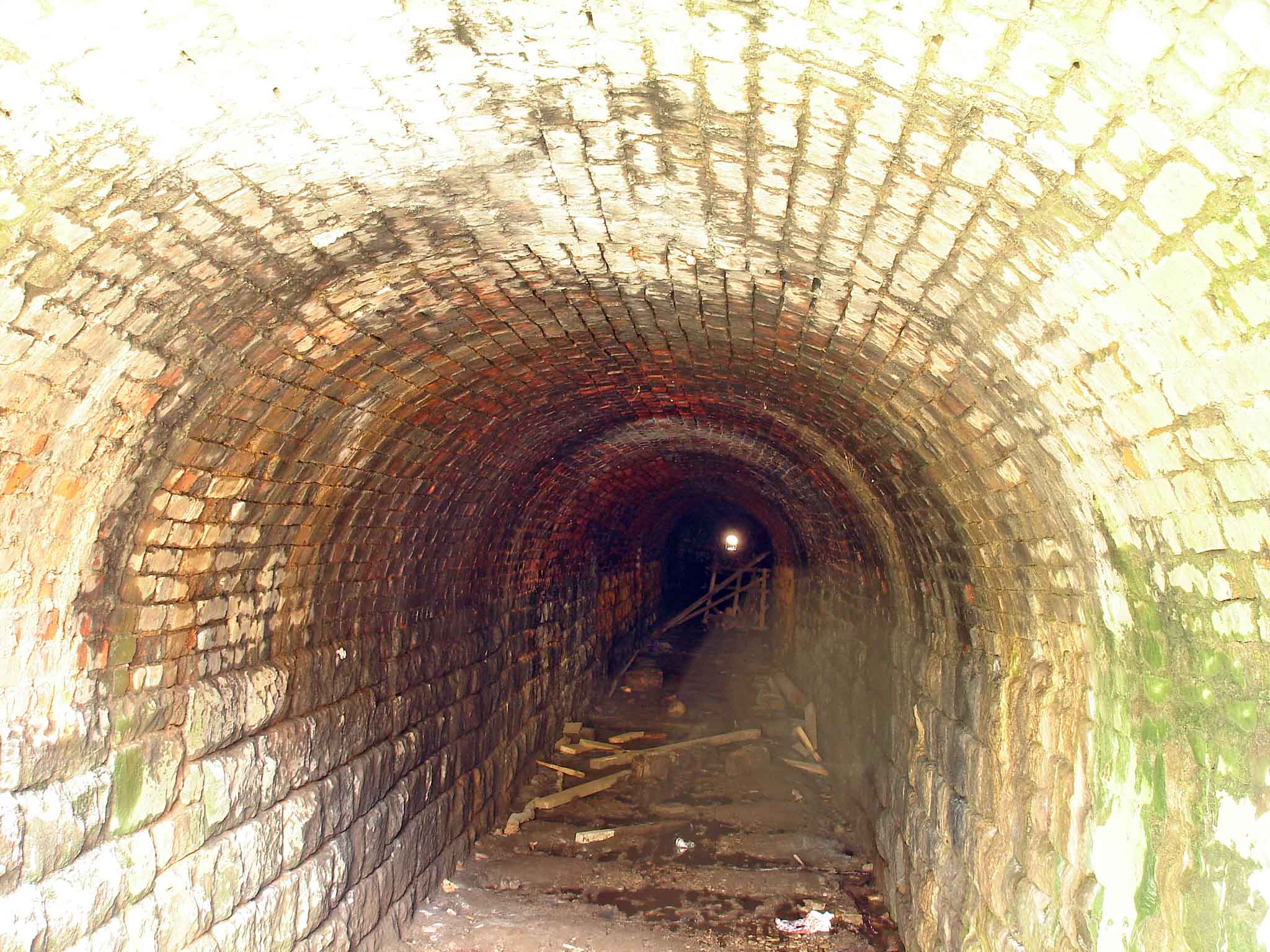
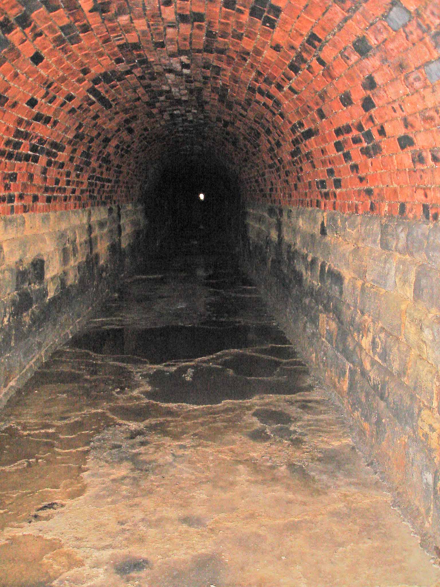
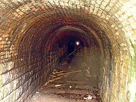
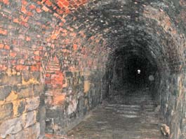
About 50yds in. |
 |
 |
 |
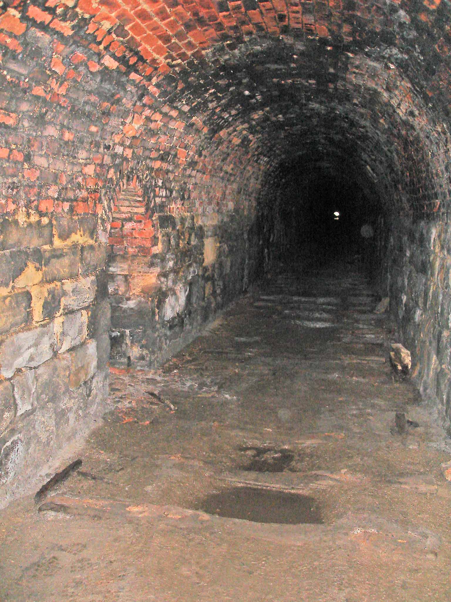
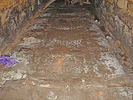
| The odd sleeper survives. |
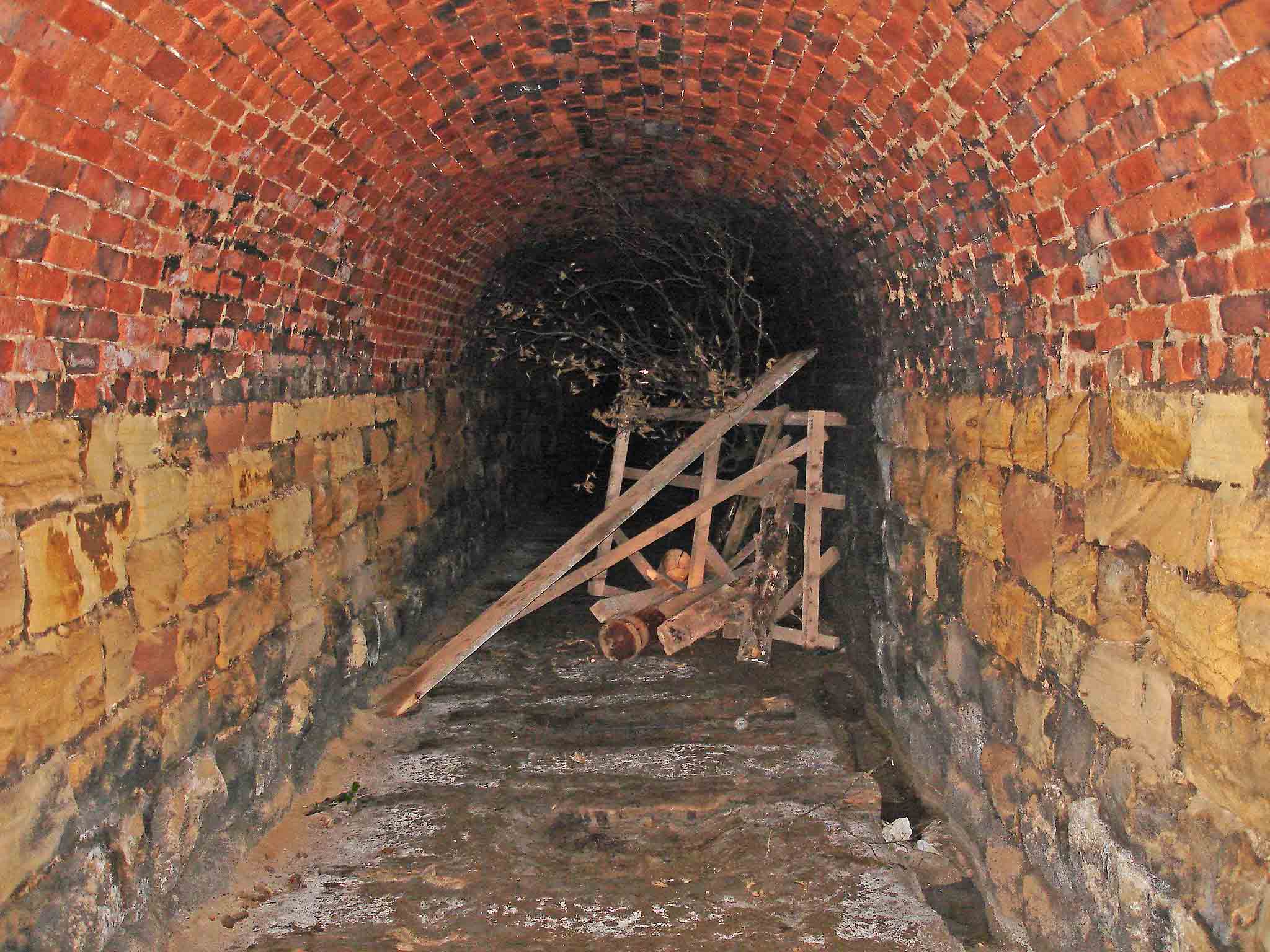
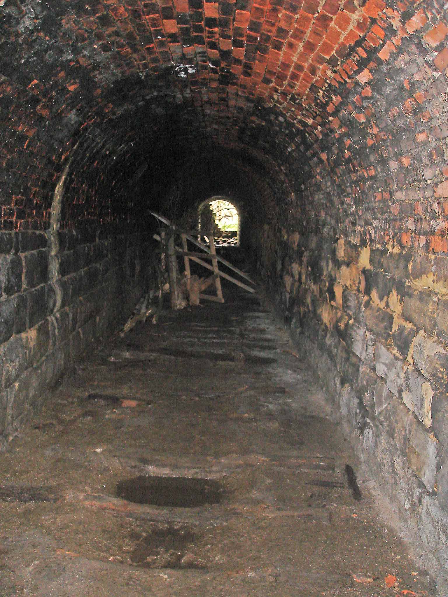
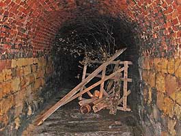
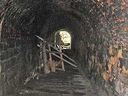
Is this the most ineffective attempt to block a tunnel in the universe? |
On the other side of the, erm, barrier it starts to get moist. |
 |
 |
 |
| To get out the other end I had to get wet feet - even with wellies on and, after all that, I forgot to take a pic! (btw, It's very muddy and wet outside for quite a way and either side of the trackbed). |
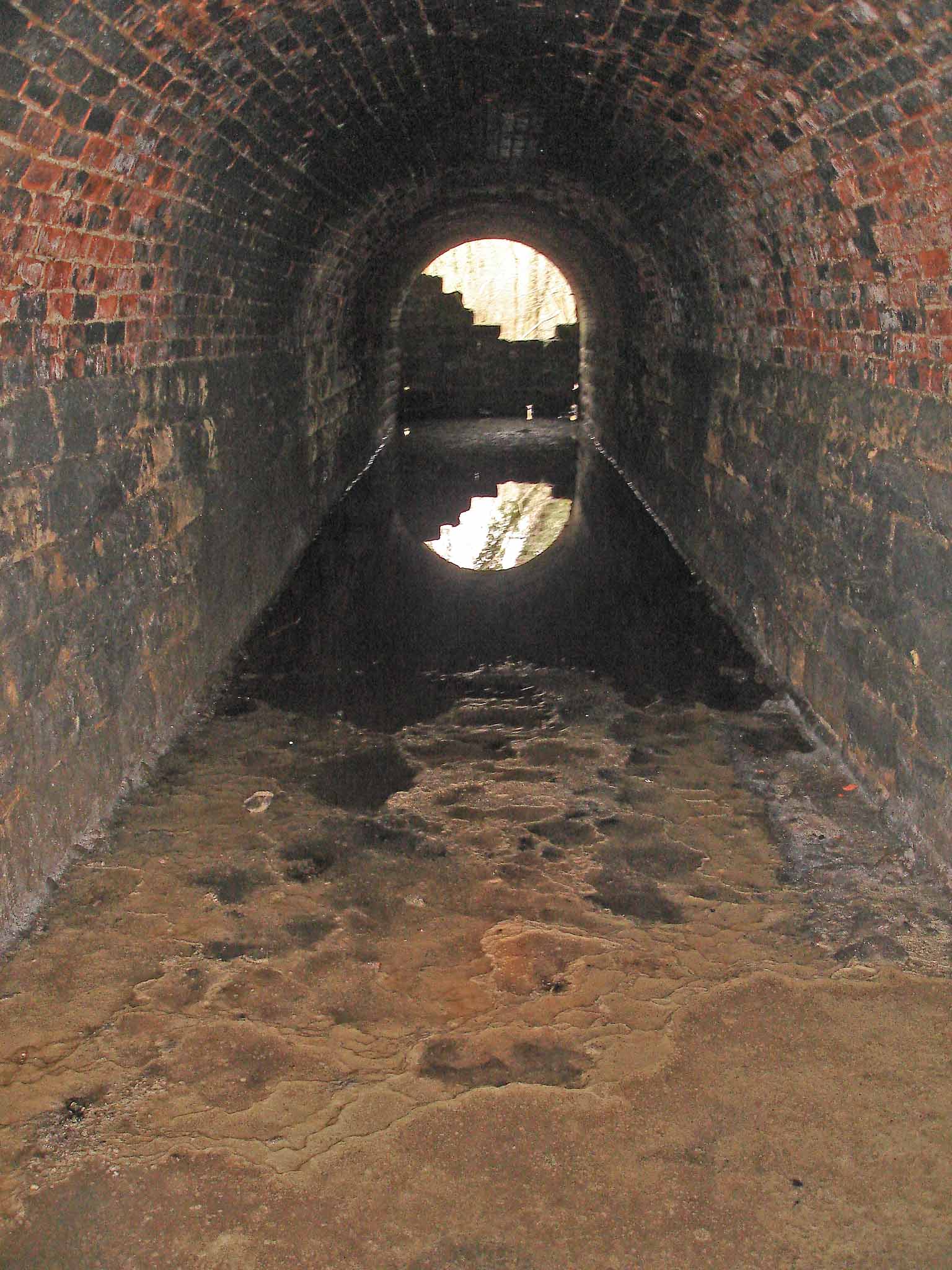
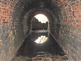
Looking back from the water at the south portal. |
Heading back to the north portal and the barrier. |
| Back to 2nd February 2008. Port Mulgrave & Sandsend Line |