| Home | Site Visits | Database | Links | Contact |
| 'Boulby' ~400yds, NZ762187 |
| Back to 2nd February 2008. Port Mulgrave & Sandsend Line |
| Click on individual pictures to view a larger version in your browser or Download the map and the pic (filesize = 0.98MB) |
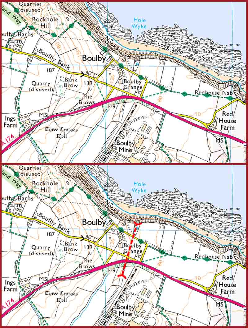
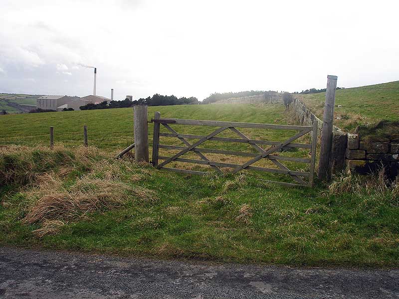
| The map below shows the position of the tunnel (highlighted on the bottom map). The pic below the maps is taken from the road that crosses the tunnel closest to the coast looking back towards the works. At the time of my visit I though the tunnel came out here but I now think it came out further towards the coast. |
|
|
| Back to 2nd February 2008. Port Mulgrave & Sandsend Line |
| ©Copyright 2010 Tunnels UK (Steve Power). No part of this website may be copied or used for any purpose without our permission. Photos may be copied to your hard drive but must not be further used for any purpose without our permission. |